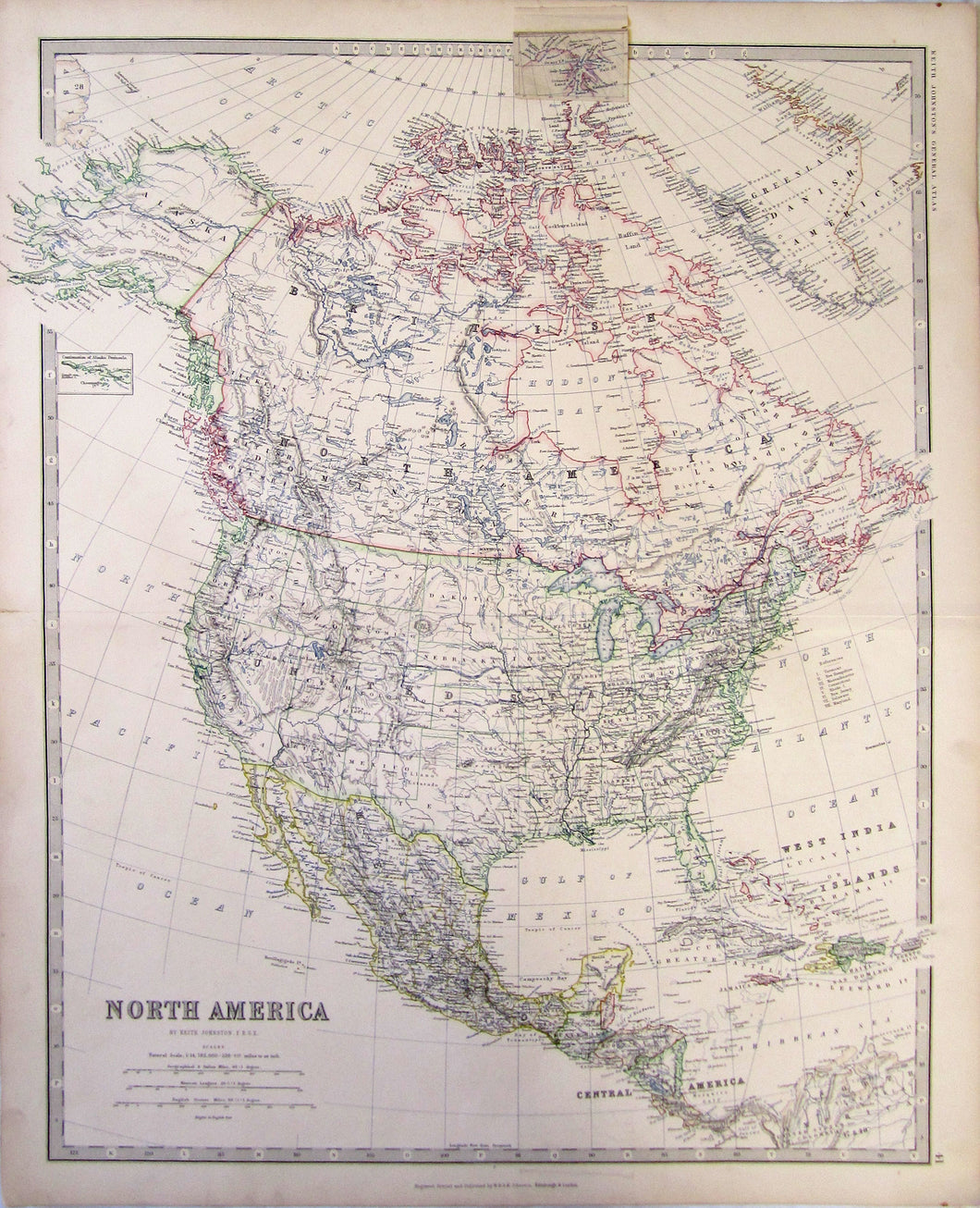
Antique coloured map with detailed boundaries, and the most up to date information.There is an extra small enclosed piece with North Baffin Bay, and Grinnel and Grant Land. Also showing Greenland, or Danish America.
Keith Johnston, Engraved, Printed and Published by W. & A.K.Johnston,1877.
Size 49 x 62 cm. (Big) Condition Very Good.