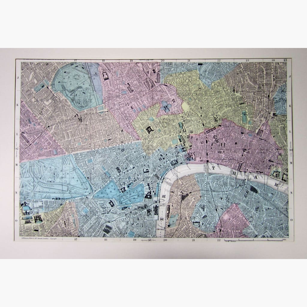
Antique map of London on the scale of 9 inch, showing Buckingham Palace and Palace Gardens, Hyde Park, Regent's Park, The Tower of London and more.
Hand coloured Lithograph, published by George Washington Bacon, c. 1895.
Size 52 x 34 cm. Condition Good.