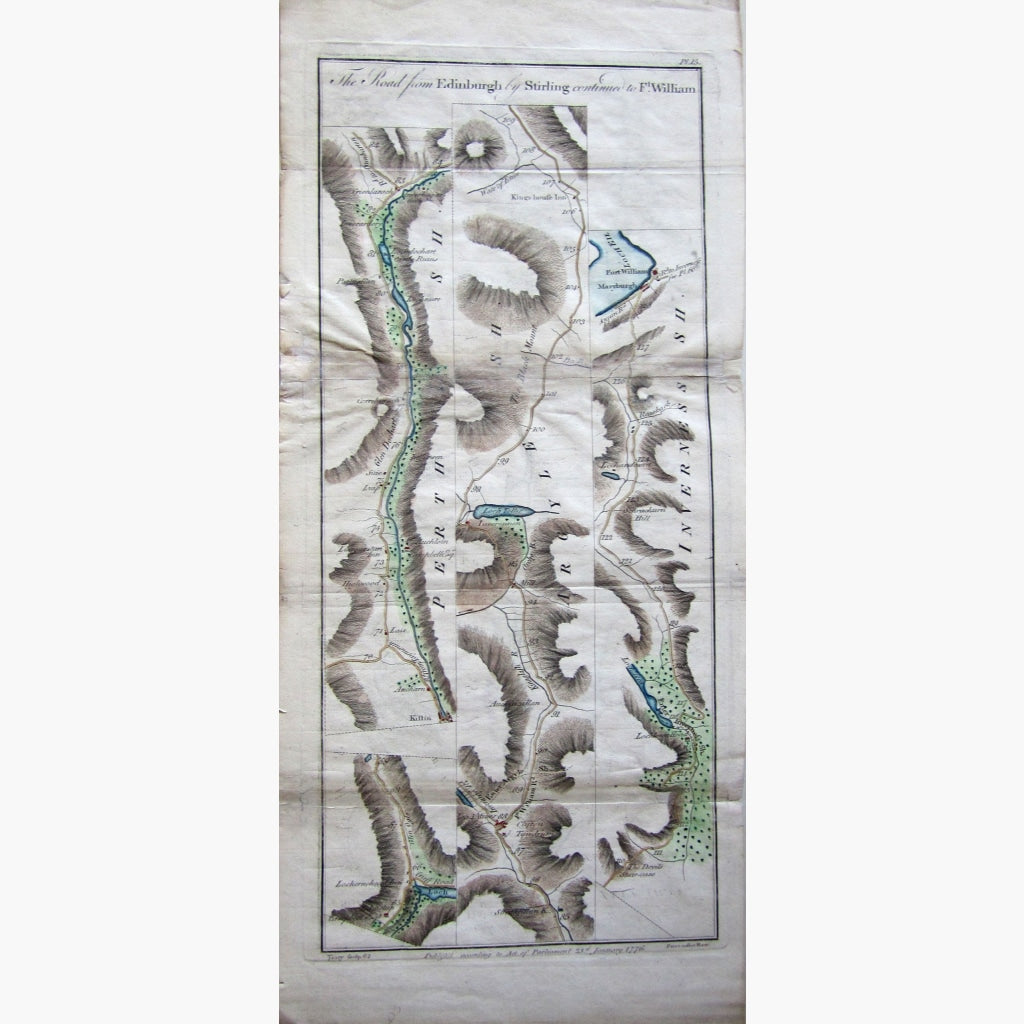
Antique copperplate, hand coloured Road Map, also showing castles, Inns, lochs and more.
Plate 15 from Taylor and Skinner's " Survey of the Roads of North Brirtain or Scotland"
This map is on the back of plate 16
Published according to the Act of Parliament, 1776
Size 22.5 x 54 cm. Condition Fair, as seen