Switzerland Maps
Antique maps of Switzerland. See Switzerland Scenes & Views for landscape prints and genre scenes.


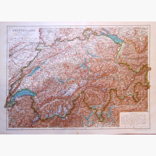


About antique maps of Switzerland
Switzerland was founded on August 1st 1291. Switzerland’s Neutrality was defined at the Congress of Vienna in 1815.
The Swiss confederation consists of 26 cantons.There are four official languages, German, French, Italian and Romantsch. From about 500 B.C. to 400 A.D. several Celtic tribes, among them the Helvetians, settled in Switzerland. Helvetia was the Latin name for the Switzerland, and it is still used today.
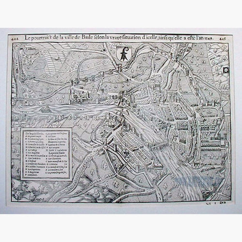
Sebastian Munster (1489-1552) settled in Basel. He produced the “Cosmographia” in 1544. There is a woodcut illustration of Helvetia above, and also the Town plan of Basel, both by Sebastian Munster.
Switzerland displays a great variety of climates,an almost Mediterranean climate along the shores of Lago Maggiore and Lake Lugano in southern Switzerland. Above heights of about 2,300 m [7,000 ft] grass and a great variety of alpine flowers have their realm. The country was mainly rural, and cows are still an important part of the local economy. They descend from summer alpine pastures to their winter barns before the snows come, but in the 19th century experienced an industrial revolution, focusing on textiles, watchmaking and others.In 1868 the International watch Company was founded in Schaffhausen
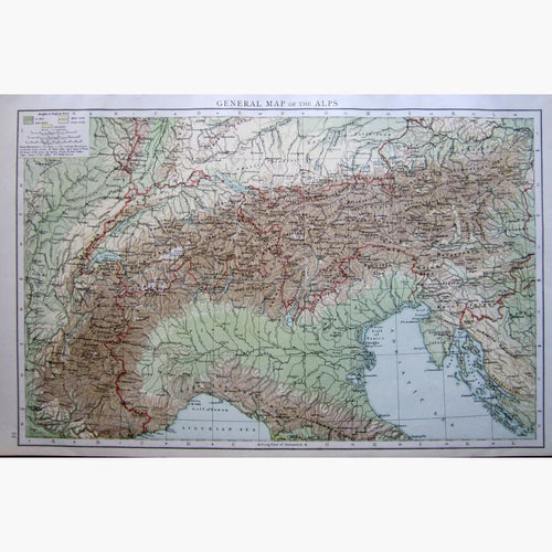
The Swiss Alps represent a major natural feature of the country. Transit across the Alps played an important role in history for pilgrims or traders. The St. Gothard Pass and the Simplon are still very important. In the 18th Century it also featured as part of the Grand Tour.
From the mid 19th Century the Alps were conquered mainly by British visitors who founded the Swiss Alpine Club. In 1858 Thomas Cook organised the first package holidays through Europe.