Town Plans


-
Previous
- Page 1 of 2
- Next
About antique Town Plans
Going to visit an old friend? An antique plan of their home town makes the perfect gift.
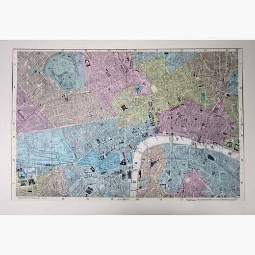
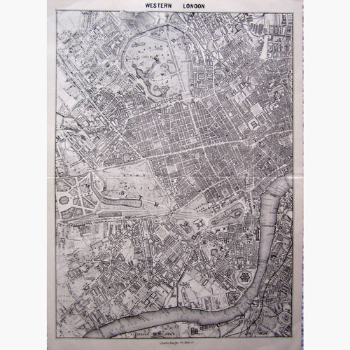
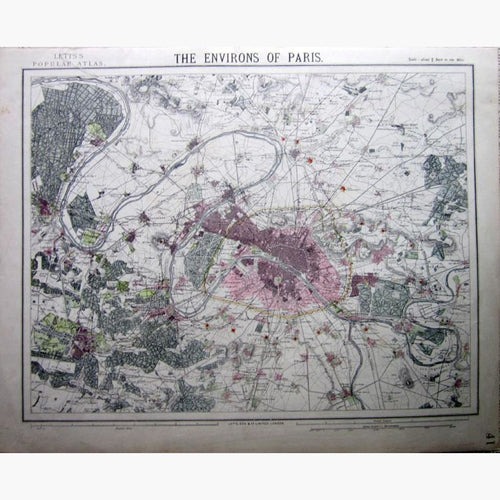
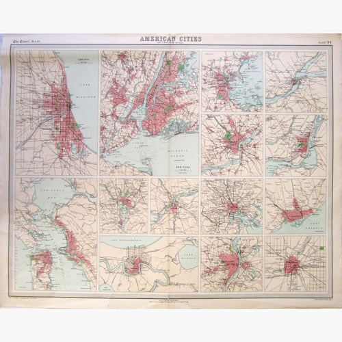
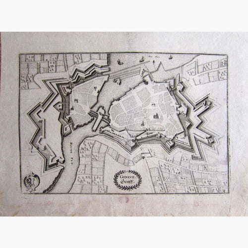
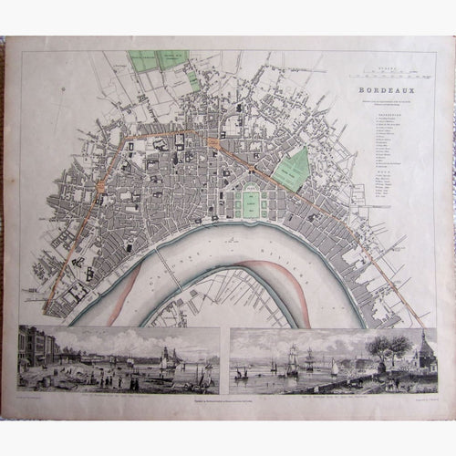
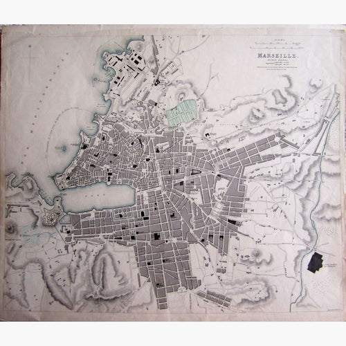
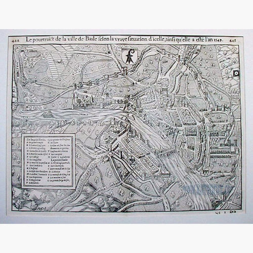
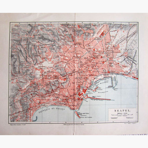
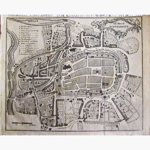
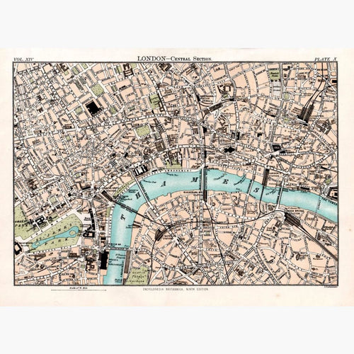
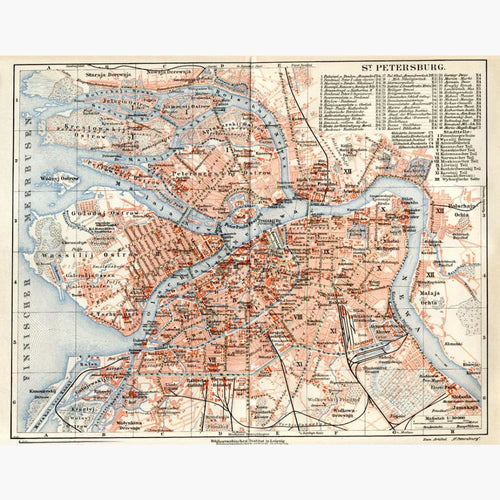
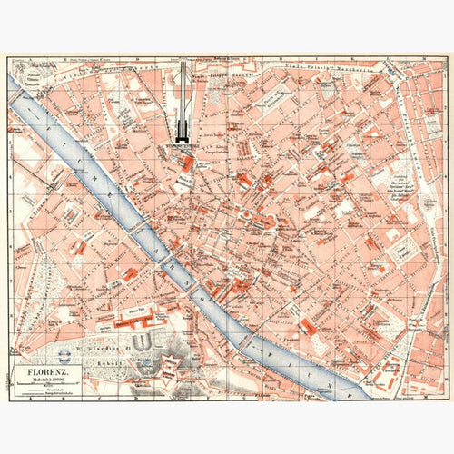
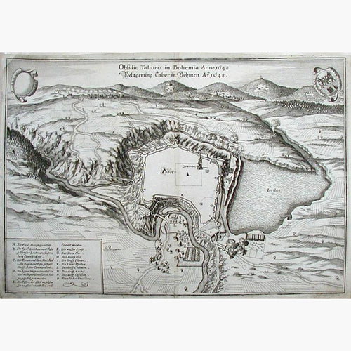
Planning and architecture changed enormously in the 19th Century. Towns used to be strongly fortified with walls around them, and moats to protect them. The maps for same above of St. Omer in 1600 and Dunkirk in 1780 are a good examples. Maps such as those above of London in 1834, New York in 1886, Vienna in 1833 and Paris in 1886 show how much our cities have changed as many more people are living in Towns.
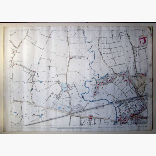
In 1745 following the Scottish rebellion, the Ministry of Defence ordered the Board of Ordinance to Survey the land. In 1783 The Royal Societies of London and Paris agreed to settle a long running dispute as to the relative positions of the astronomical observatories in these two cities by connecting them by a system of triangulation. Triangulation is a means of measuring distance and fixing positions. as a result the first Ordnance Survey Map was published in 1801. The maps showed roads, rivers, hills and type of land cover. They were military maps and were used to monitor the South East Coast which was vulnerable to French invasion. The maps were first made available to the public in the late Georgian time and in 1870 the Ordnance Survey passed from the War office to the Civil Ministry.