Greece Maps
Antique maps of Greece. See Greece Scenes & Views for landscape prints and genre scenes.


About antique maps of Greece
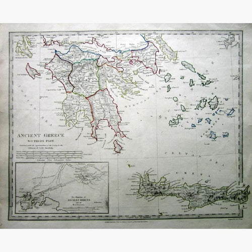
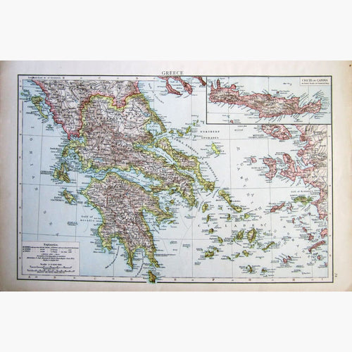
Greece, cradle of European Culture, is well-represented in antique map and print-making. I have a large selection of antique maps of Greece as well as a fine selection of antique prints of Greece.
Greece, consisting of the Morea, all the Cyclades, some of the Sporades and the Ionian Islands is considered the cradle of the Western Civilisation. The first Olympic Games were held in 776 B.C. There were various kingdoms, city-states and their colonies which spread along the Greek peninsula from the Black Sea towards Asia Minor. They prospered and this resulted in a cultural boom in Architecture, Science, Mathematics, Drama. Philosophy and even in the first Democratic System of Government.
Many battles were fought by Athenians and Spartans, including the Battle of Marathon..
Alexander The Great defeated the Persians in 330 B.C. His Empire stretched from Greece to Egypt, to Asia.
In 27 B.C.Greece became a part of the Roman Empire.
From the 4th -6th century, the Roman Empire divided into East and West. Constantine I transferred the main capital from Rome to Byzantium, later Constantinople. The Byzantine Empire was oriented towards Greek culture, rather than Roman and practised Orthodox Christianity. The conquest of Constantinople in 1453 by the Ottoman Turks led by Sultan Mehmed ll finally ended the Empire.
In 1718 Greece became a province of the Turkish Empire
The Greek State was recognised in 1830, having been under the Ottoman control from the 15th Century, and in 1829 it became an independent state. In 1815 the Ionian Islands were united to Greece.