India & East Indies Maps
Antique maps of India &East Indies. See India & East Indies Scenes & Views for landscape prints and genre scenes.


-
Previous
- Page 1 of 2
- Next
About antique maps of India & East Indies
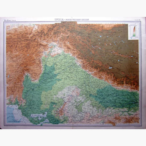
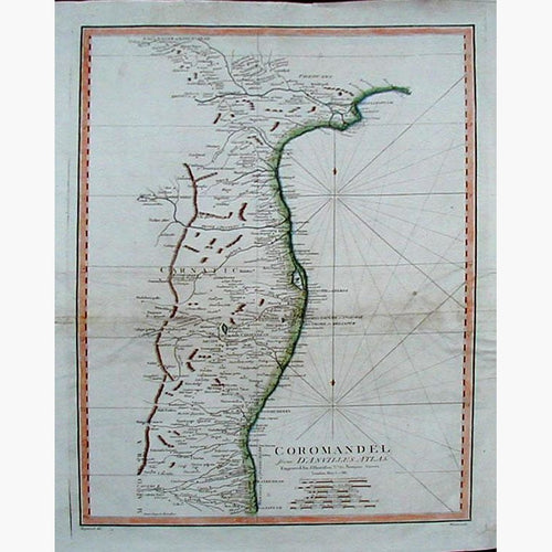
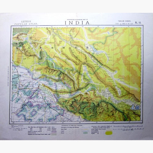
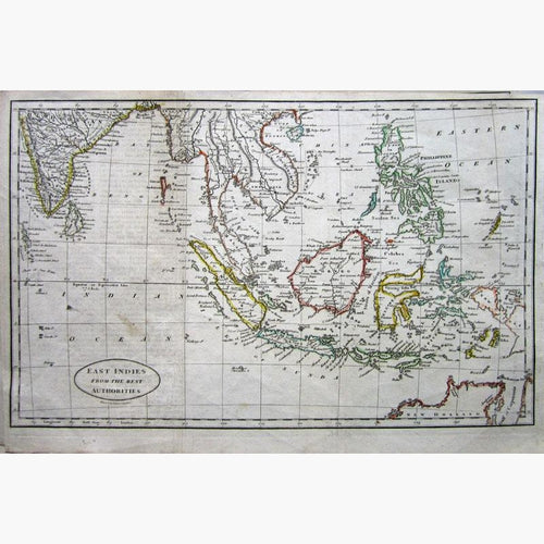
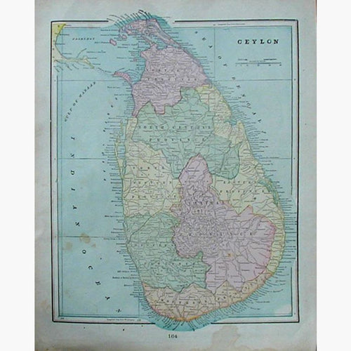
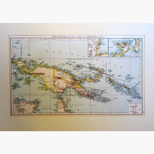
The first maps of India covered a large area, and included the East Indies. The Indian peninsula is shown greatly foreshortened, and Ceylon is sometimes to the right, and sometimes to the left. I have a large selection of antique maps of India. I also have many prints.
It was not until detailed maps were required for trading purposes, in particular by the East India Company, that a thorough survey of India was carried out.
The name India is derived from the river Indus, which originated from the Persian name Hindus. India has magnificent scenery, rich natural production and wonderful antiquities. It forms a great irregular triangle. Its northern base rests upon the Himalayan range, the south- west the Arabian Sea, the south- east the Bay of Bengal, and the south bounded by the Indian Ocean .
From the earliest historical period it has been the object of desire to conquering people for its trade routes, with its commercial and cultural wealth and vast empires. Four religions originated here; Hinduism, Buddhism,Sikhism and Jainism. Christianity, Zoroastrianism, Judaism, and Islam arrived later.
The Indus Valley Civilisation, or Harappan Civilisation worshipped many gods including Indra. In about 1500 BC the Aryans, migrated into India through the Khyber Pass, and athough they brought in horses, they also brought in the Caste system and Hinduism. This was the Verdic period . Persia then dominated northern India. The Gupta Empire ruled 240-280 CE, and propagated Budhism. In 712 CE the Muslim general Muhammed bin Quasim conquered northern India. This was the end of the indigenous empires of India. The English East India Company annexed and subdued most of India by the 1820s