Central & Latin America Scenes & Views
Antique scenes & views from Central & Latin America, including landscapes, townscapes, historical buildings and genre scenes. See Central & Latin America Maps for maps of Central & Latin America.


About antique Central & Latin America Prints
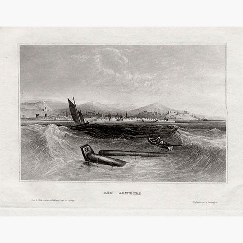
Central and South America offer some of the most dramatic scenery in the world. Since its conquest by the Spanish, there have been increasing numbers of prints and maps of this beautiful region.
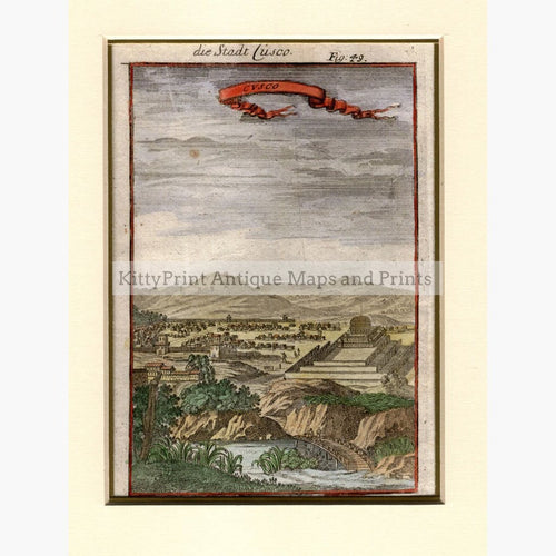
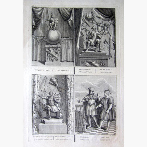
Central America was inhabited by the indigenous peoples of Mesoamerica, the better known being the Mayans, Aztecs and Incas. The Spanish and Portuguese interest in Southern and Central America led to early mapping. The first printed maps of South America were wood-cut in the 16th century. However due to the secrecy of the Spanish, divulging information on maps, charts or ships’ logs could be punished by death. Commodore George Anson led a squadron of eight ships on a mission to disrupt or capture Spain's Pacific possessions. Richard Walter published his Voyage Round the World in 1748.
Antoine Francois Prevost (1697-1763) a Benedictine priest known as Abbe Prevost, contributed to the Histoire General des Voyages,1747. Acapulca and Santa-Fe are illustration by Jacob van der Schley.
Alexander von Humboldt's Journeys of the Orinocco and Amazon in 1800 supplied detailed information of the region.