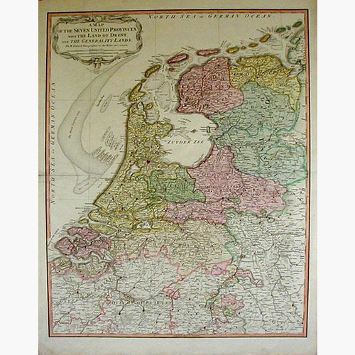
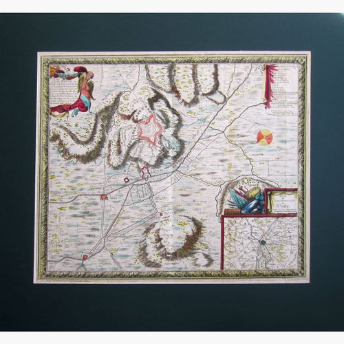
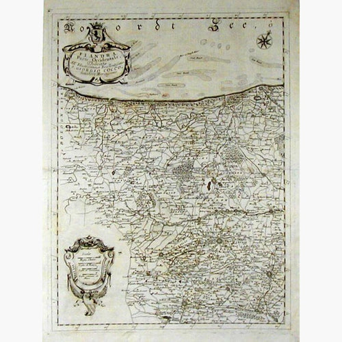
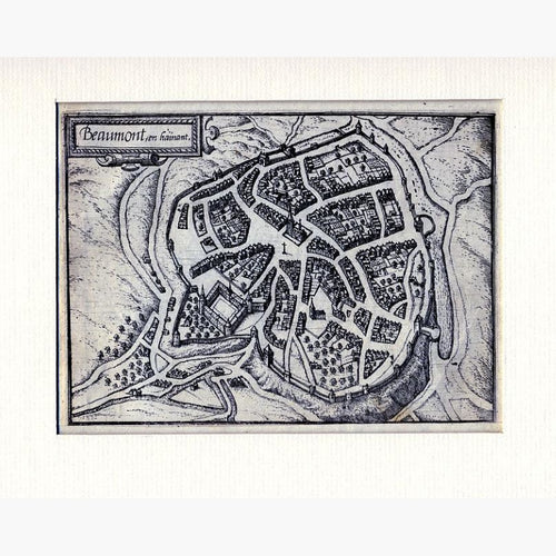
Netherlands & Belgium Maps
Antique maps of Netherlands & Belgium, See Netherland and Belgium Scenes & Views for landscape prints and genre scenes.


About antique maps of Netherlands & Belgium
When the Dutch finally broke free of Iberian domination, they no longer had access to the Spanish and Portuguese ports. As they were cut off from the rest of the country, they were forced to find other means of supply. They were good sailors and ship builders, and therefore resorted to trading by sea. For this purpose they needed maps and, in particular, charts.
I have many very early specimens, in very good condition.