Antique Map, Route Map to Glenarm from Ballycastle, 1778 – KittyPrint
Route Map to Glenarm from Ballycastle 1778 Maps KittyPrint 1700s Ireland Road Rail & Engineering

Antique Map, Route Map to Glenarm from Ballycastle, 1778

Regular price £30.00 Sale

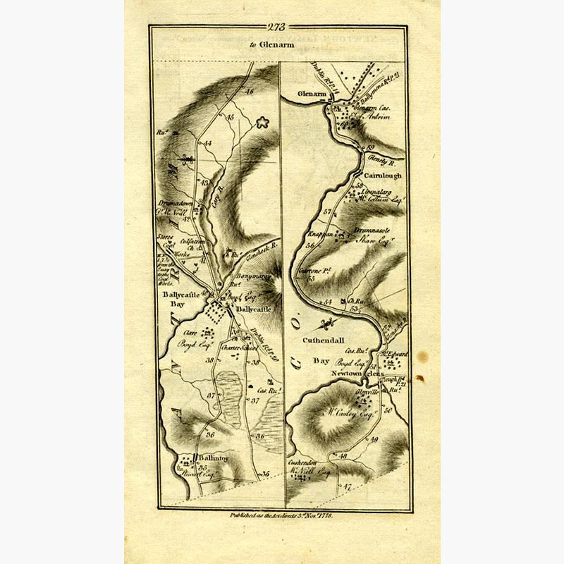
Showing the road, houses and churches along the way, and surrounding hills and bays.
On opposite side of the page is the road from Newtown Limavady to Ballymoney.
Copperplate engraving, from "Maps of the Roads of Ireland" by Taylor and Skinner, published 1778.

15 x 26 cms. Condition good


Recently Viewed

Sale

Unavailable

Sold Out