Africa
Antique maps of Africa. See Africa Scenes & Views for landscape prints and genre scenes.

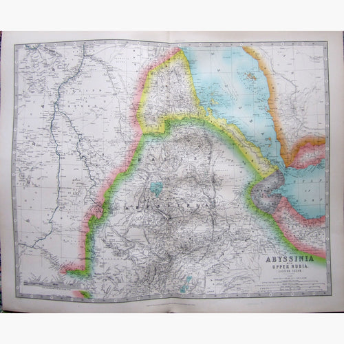


About antique maps of Africa
Up to the beginning of the 15th Century, the only part of Africa known to Europeans was the North Mediterranean shore. Since then, cartographers gradually pushed forward the frontiers of the continent, and the wonders of the interior began to be represented on maps and prints.
Arabia – mysterious cradle of civilisation. Ruins, traders, landscapes, camels.
In 1415 Prince Henry, son of John I, King of Portugal started exploration expeditions. He died in 1463, by which time Africa was known as far as Sierra Leone, but the interest continued, and Bartholomew Diaz obtained 3 ships and sailed around the Cape of Good Hope. Portugal was at this time the greatest Maritime power in Europe.
In 1788 the Africa Association was formed in London, which then became the Geographical Society in 1831 with explorers such as Houghton, Mungo Park, Hornemann, Burkhart, Carsten Niebuhr, and others who started to unravel the mystery of Africa.