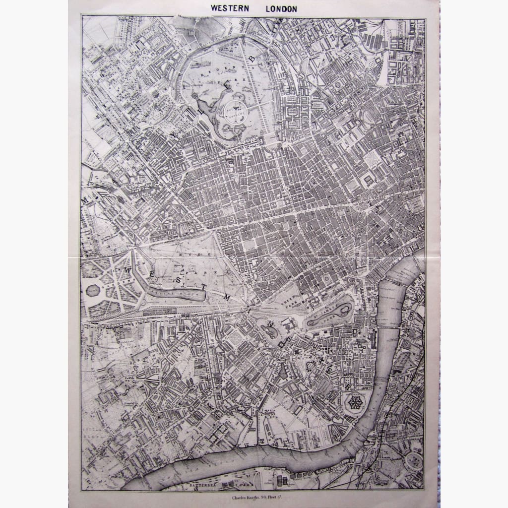
Antique , very detailed map of Western London, Showing the area from Regents Park to Batersea Park. The old Penitentiary is clearly marked, as is an undeveloped area nearby. The RiverThames is very prominent, as is also The South Western Railway.
Published by Charles Knight ,1850
Size 27 x 36 cm. Condition Good