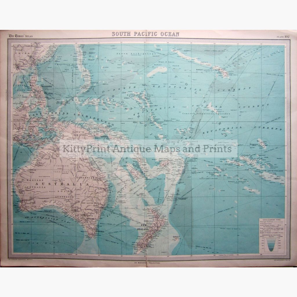
This vintage Bathymetrical map is coloured to show the sea levels of the South Pacific Ocean in fathoms. Australia, New Zealand, The East Indian Archipelago, and other islands are shown with their Principal Railways. Ocean Steamer Routes, Submarine cables and rocks and Shoals are also marked.
The Edinburgh Geographical Institute, a Survey of the World by J.G.Bartholomew Cartographer to the King,the map is from The Times Atlas and Gazetteer of the World, 1922.
Size 58 x 45 cm.Condition Good.
Note that this map is less than 100 years old and therefore is not classified as antique.