Regular price £35.00 Sale
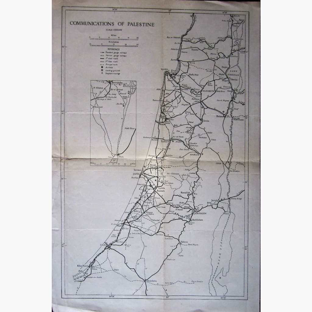
Antique map, showing Communications, with reference to Railways, Roads,Tracks, Airfields, Landing ground and Seaplane Moorings.No date shown, so approximate date c. 1935
Size 36 x 53 cm. Condition Good, with folds.
Unavailable
Sold Out