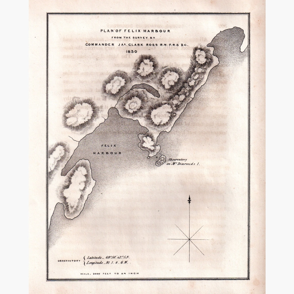
Plan of Felix Harbour from the Survey in 1830, by Commander James Clark Ross, the nephew of the explorer Sir John Ross.
Showing the observatory on Mc.Diarmids Island.
The survey is from Captain J Ross's second arctic expedition 1829-1833.
Published in 1834.
Size 23 x 29 cm. Condition Good.