Regular price £25.00 Sale
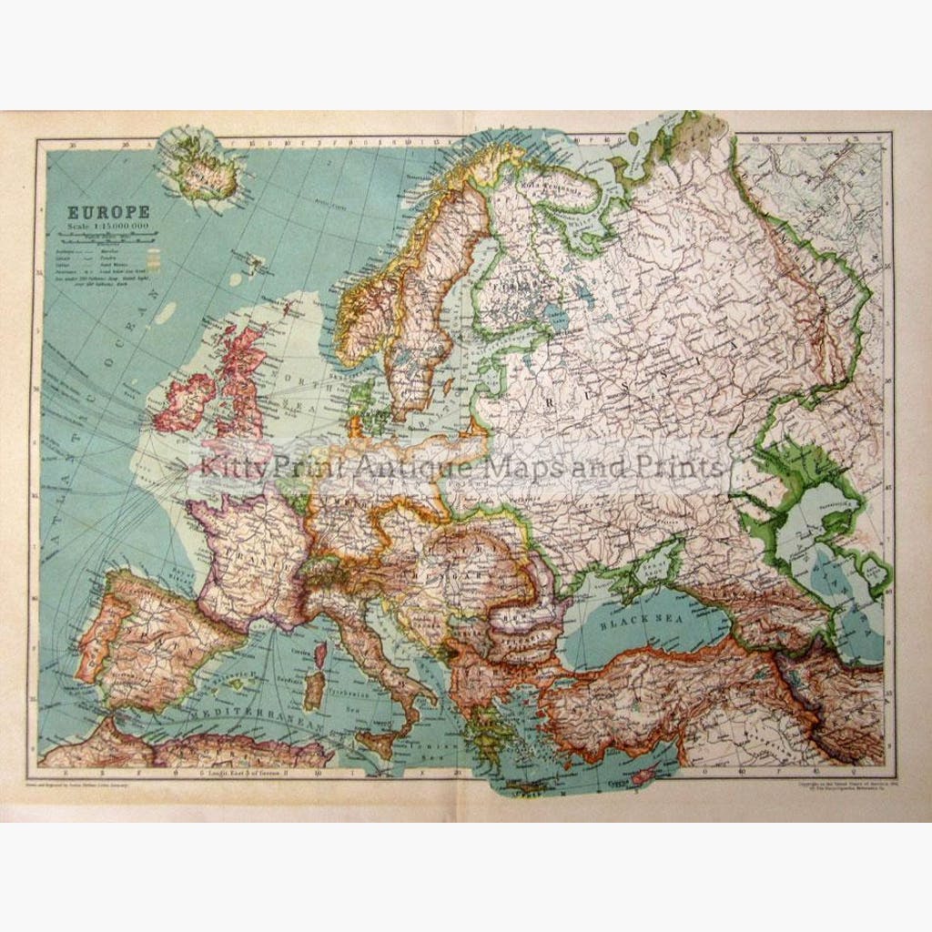
Europe. Showing railways,Canals,Cables, land below Sea level,and more.Justus Perhtes,Coloured map, from The Encyclopaedia Britannica 1910.
Size 42 x 29 cm. Condition Good.
Unavailable
Sold Out