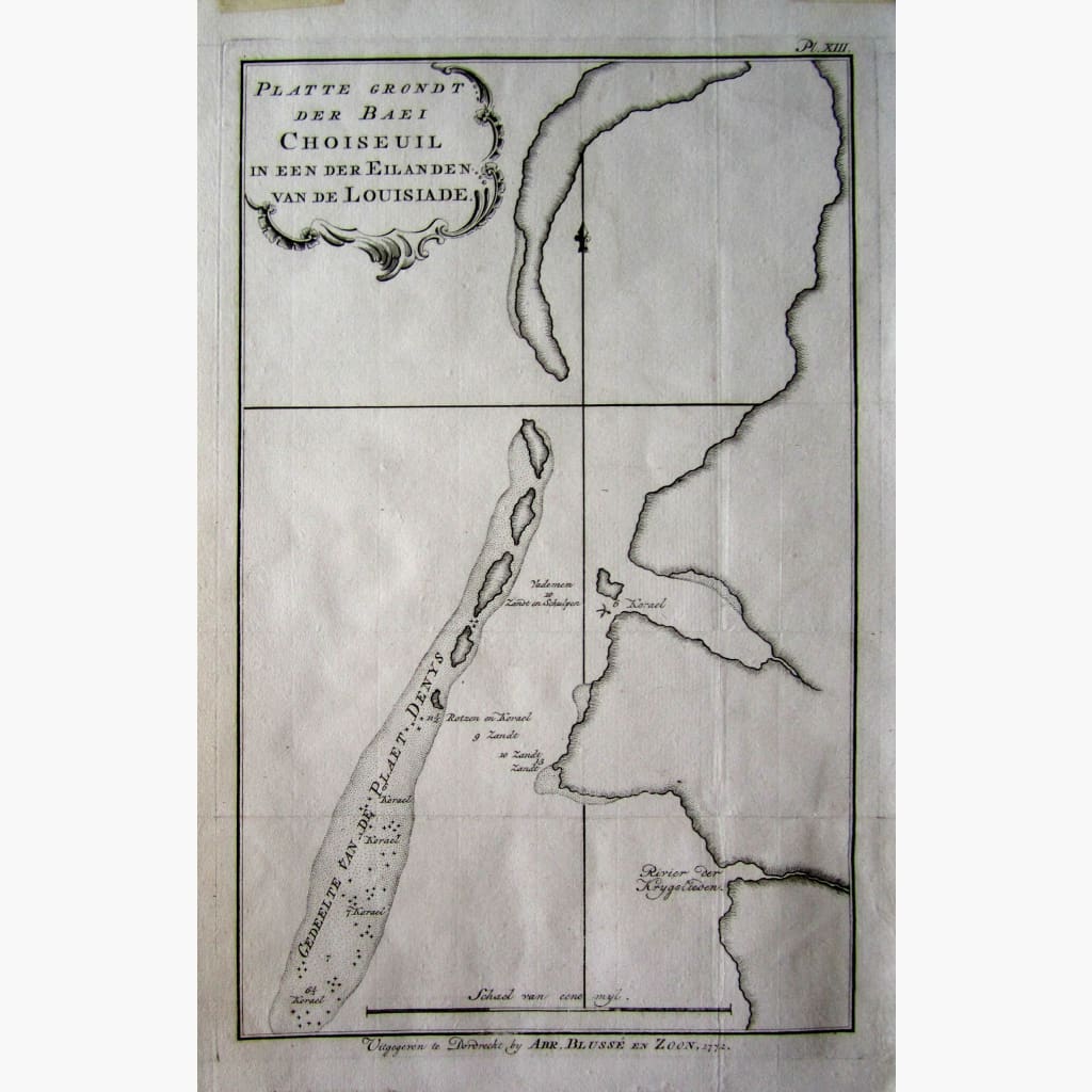
Antique copperplate chart, Platte Grondt der Baei Choiseuil van de Louisiade.
The Dutch edition of Louis-Antoine, Comte de Bougainville circumnavigation 1766-1769 from " Reis Rondon der Weldt" by Dordrecht.
Engraved by Abr. Blusse 1772
Size 22 x 36 cm Condition Very Good.