Maps of Islands
Antique maps of Islands. See Islands Scenes & Views for landscape prints and genre scenes.


- Previous
- Page 2 of 2
-
Next
About antique maps of Islands
Islands are land surrounded entirely by water. Some are the result of volcanic action, some are probably the summits of mountain ranges of continents slowly rising or sinking beneath the ocean level. Some islands which are situated close to the continents, could have once been connected to the mainland.
The Scottish Isles of Shetland, Orkney, Jura, and the Isle of Man, are very rare maps by Franz Johan, Josef von Reilly who received his title at the Austrian Hapsburg Court, where his father was the Court Tutor.
The West Indies maps show the possessions of different countries before Independence.
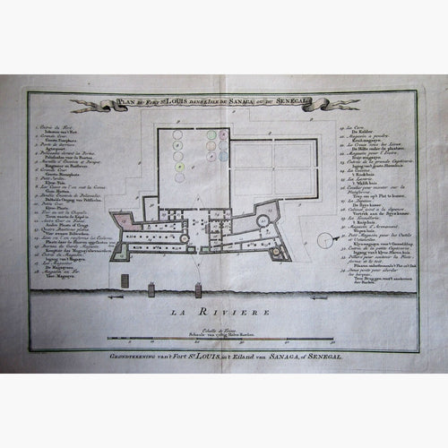
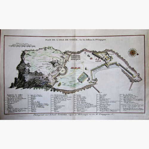
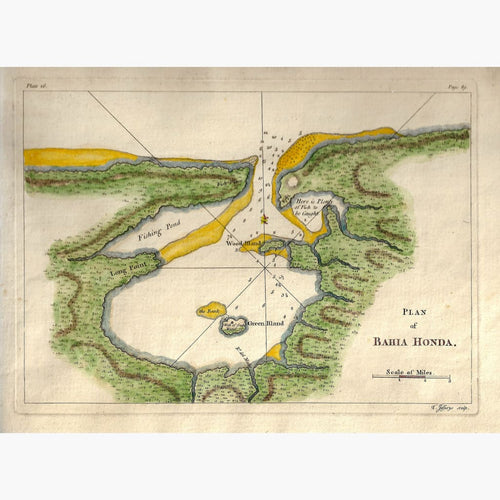
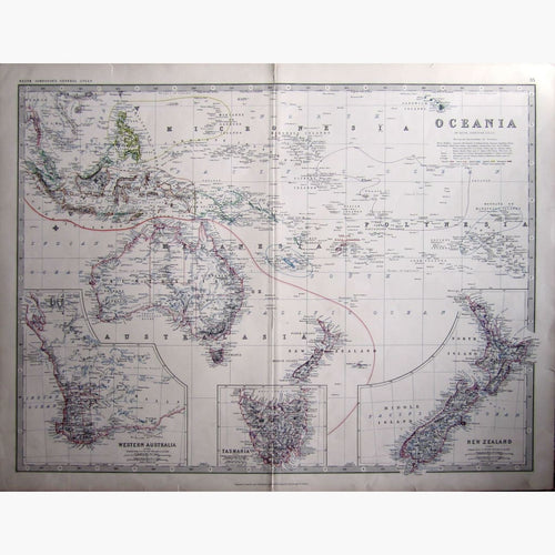
The antique maps of Islands in the Pacific, or Polynesia, and Islands in the Atlantic Ocean, have descriptions of the climate, the inhabitants, number of populations, the products of each island and the name of the first discoverer. There is a coloured explanation of the possessions of each island, with the names of the country.
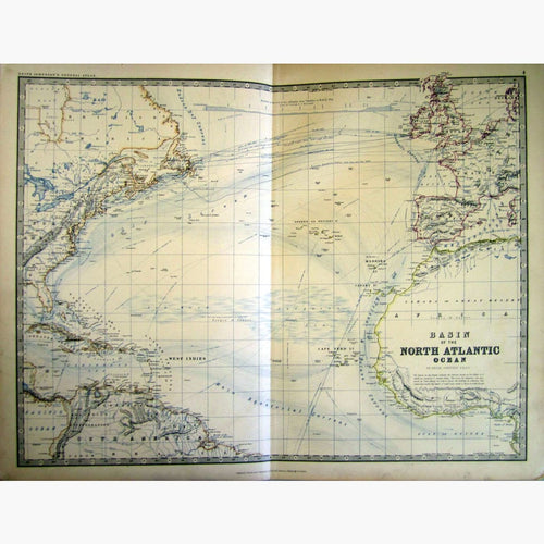
There are many islands in the Atlantic Ocean. Among them are the Azores, The Canary Isles, The Falkland and Cape de Verde Isles.
The East Indies shows the Islands of Siam, Philipines, Malacca among others.
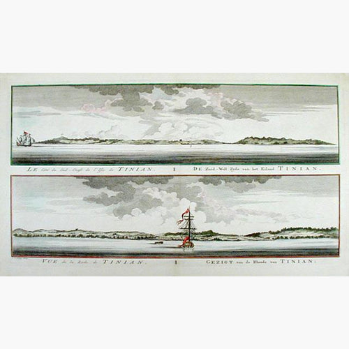
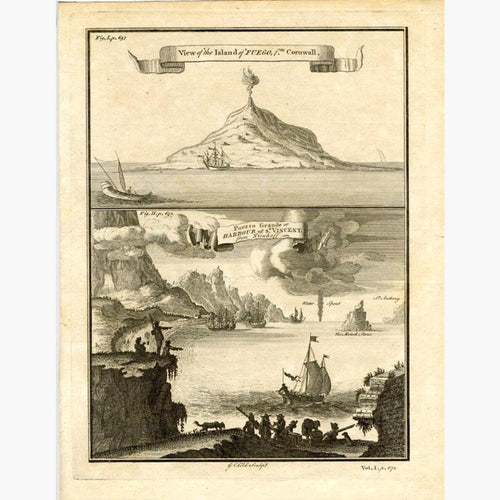
The South Sea Islands and The Hawaii Archipelago or Sandwich Islands, Tahiti or Otaheite, Tonga or Friendly Isle, Salomon Islands, Mariana or Ladrones, Juan Fernandez and Pitcairn are some Islands in Polynesia.