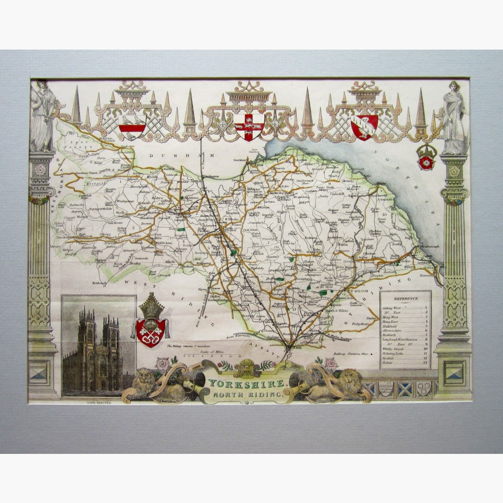
Yorkshire North Riding by Thomas Moule.
Highly decorated steel engraved map, hand coloured, with illustrations of York Minster, and Heraldic Shields. It even shows railway stations.
The map was created by Thomas Moule (1784-1851) He is well known for the decorative but very detailed county maps, which he embellished in his own fashion. All his maps are decorated with the heraldic shields of each county. He was very interested in History, and even wrote a book on Heraldry.
The map is from “Barclay’s Universal English Dictionary,” published by George Virtue, circa 1840.
Size 27.5 x 21 cm. Condition Good.