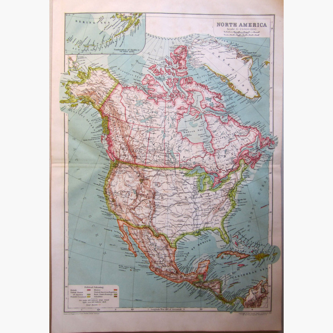
Antique, coloured map, Scale 1:25,000,000. Small inset map with Continuation of Alaska &c. on the same sacle. Drawn and Engraved by Justus Perthes, Gotha
Published by Encyclopaedia Britannica, 1910
Size 29.5 x 43 cm. 11.5 x 17 inches Condition very Good