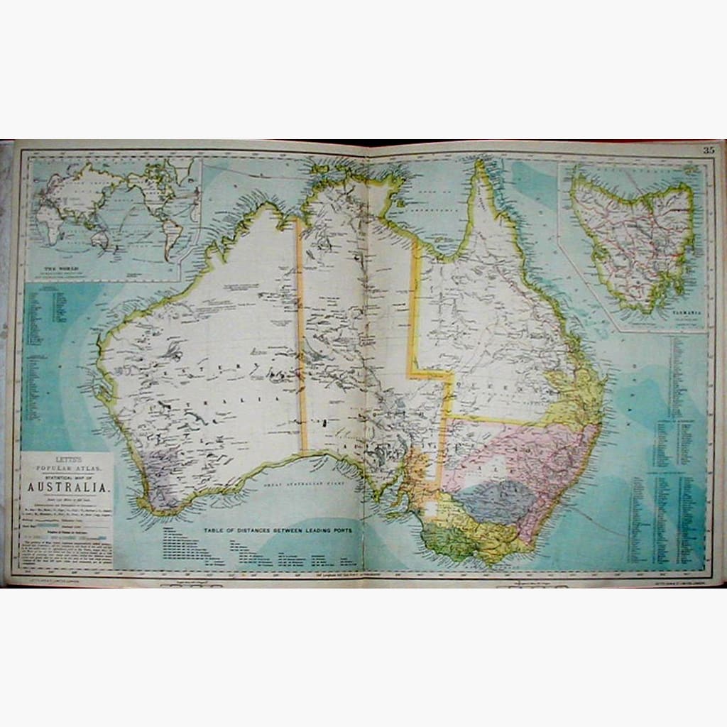
Inset maps of Tasmania and of the World showing distances of Australian Ports, and also Table of distances between leading Ports. The portions of Map tinted are settled territory, the white is unexplored. map is joined in middle.
Published by Letts, Son and Co. Ltd. dated 1881.
Size 69 x 42.5 cm. Big Map, Condition Good.