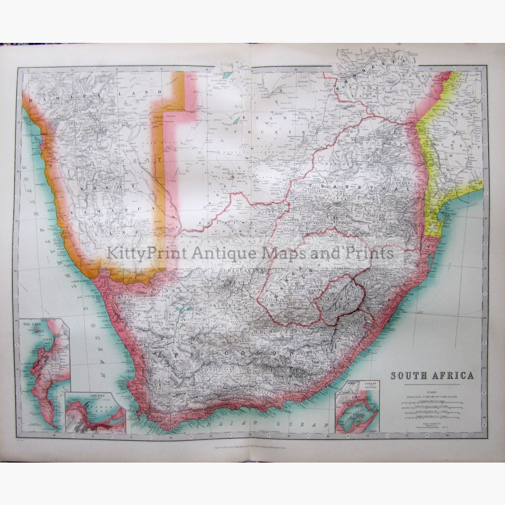
Coloured map with inset map of The Cape, Cape Town, and Durban with port Natal. Showing heights in English Feet, railways and Submarine telegraphs.
Engraved, Printed and Published by W. & A.K. Johnston from M.P. Atlas, The Commercial and Political interests of the British Isles & Empire, 1907.
Size 62 x 50 cm. Condition Very Good.