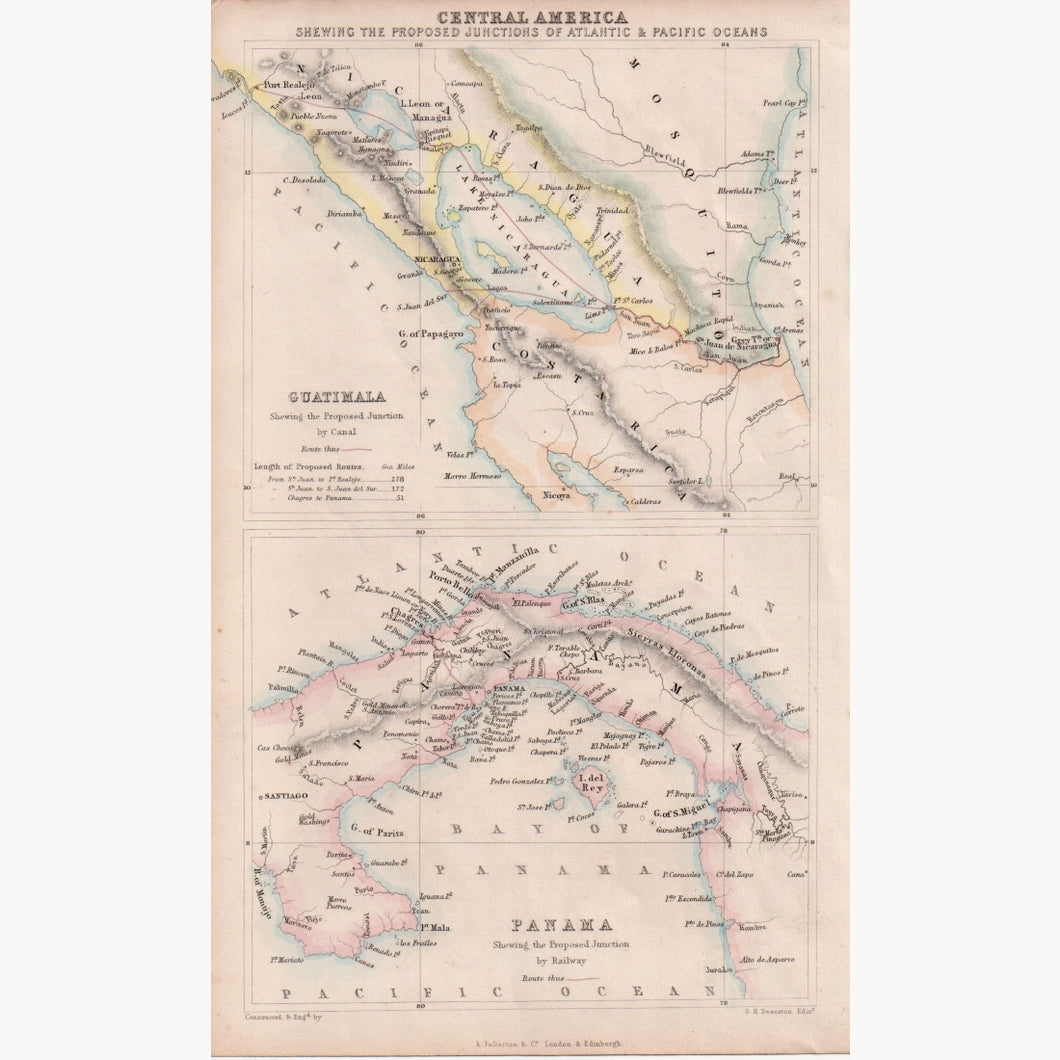
Central America shewing the Proposed Junctions of Atlantic and Pacific Oceans.
Lithograph map with original colour, Guatemala shewing the Proposed Junction by Canal, and Panama shewing the Proposed Junction by Railway.
Engraved by George Heriot Swanston from "A Gazeteer of the World", 1856.
Size 15.5 x 25 cm. Condition Good.