Regular price £22.00 Sale
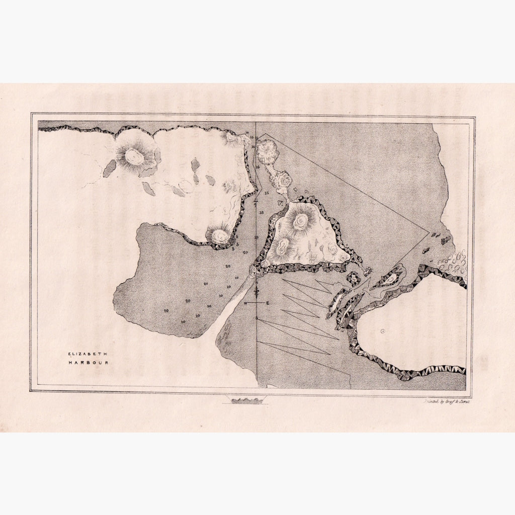
Lithograph survey, printed by Graf and Soret. Captain J Ross's second arctic expedition from 1829-1833.Published in 1834.
Size 28 x 21 cm. Condition Good.
Unavailable
Sold Out