Sea Charts


- Previous
- Page 2 of 2
-
Next
About antique Sea Charts
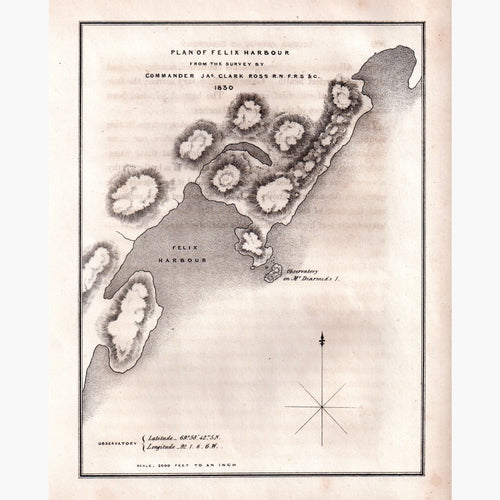
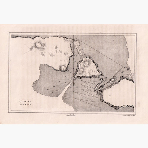
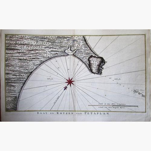
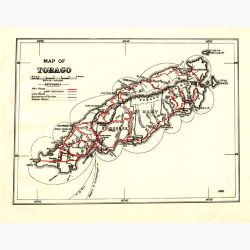
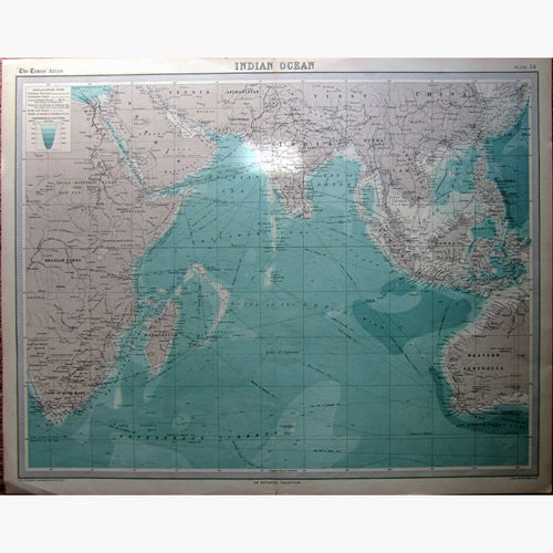
Sea charts, Marine charts, or a Nautical charts are defined as a marine or hydrographical map, exhibiting part of a sea or other water, with the islands, contiguous coasts, soundings, currents, and other information of any kind.
Sea charts are not only fascinating historical documents, demonstrating the detailed contemporary knowledge of the seas, but they also make great decorations for offices, boardrooms and homes.
Marine charts appeared first to have been issued by the Portugese. Henry the Navigator (1349- 1460) is known as the Patron of Portugese exploration. He was responsible for the early development of European exploration and maritime trade with other continents and the exploration of the west coast of Africa.
Sea charts can show the depth of the sea, the shore line, the position of harbours and docks, the hazards such as sand banks, or rocks and information on tides and currents and the navigable channels. Some sea charts include views of the coast line and indicate the position of significant landmarks for greater ease for navigation.
I have a very interesting chart of Gibraltar 1782, Canada Accadie the Plan of the Port of Haive 1744, Strait of Magellan 1787 and more.