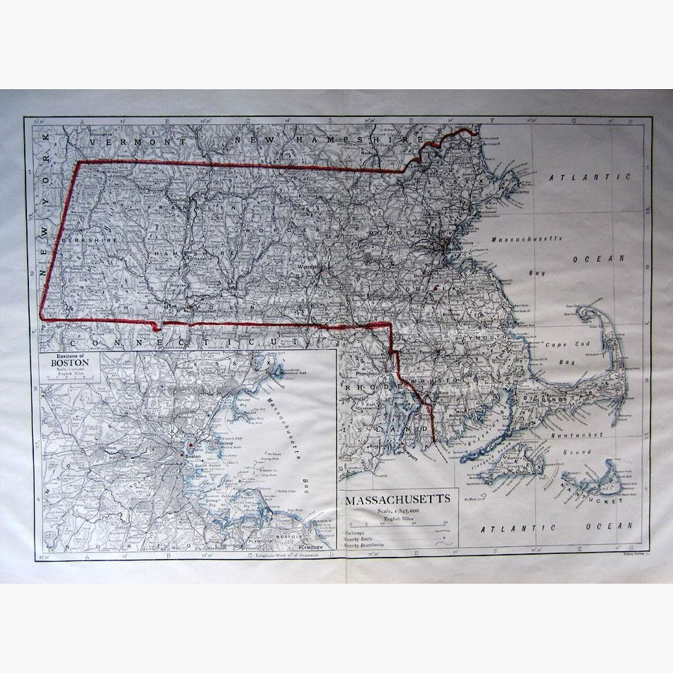
Inset map of Environs of Boston. Showing Railways, County Seats, and County Boundaries, Massachusetts Bay, Cape Cod, Nantucket, and more.
The map is from the Encyclopædia Britannica 11th edition. It is engraved by Emery Walker, an English engraver, and printer, who took an active role in many organisations that were at the heart of the Arts and Crafts movement.
This edition was developed during the Encyclopaedia’s transition from a British to an American publication. It was assembled with the management of American publisher Horace Everett Hooper. the eleventh edition had substantial American influences, not only in the increased amount of American and Canadian content, but also in the efforts made to make it more popular, 1910.
Size 44 x 29 cm. Condition Good.