Regular price £35.00 Sale
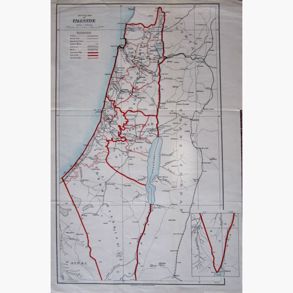
Antique coloured Sketch Map of Palestine, with a Reference Explanation, showing Railways, Metalled Roads, Marshes and more.Survey of Palestine, Jaffa 1932.Published by Waterlow and Sons Ltd.
Size 33 x 51 cm. Condition Good, with folds.
Unavailable
Sold Out