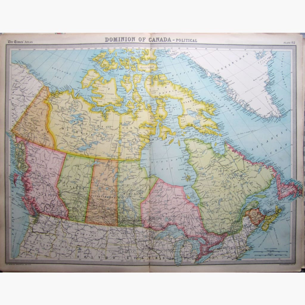
Coloured map showing the whole of Canada, from the Atlantic to the Pacific Coast.
The Edinburgh Geographical Institute, a Survey of the World by J.G.Bartholomew Cartographer to the King,the map is from The Times Atlas and Gazetteer of the World, 1922.
Size 58 x 45 cm.Condition Good.
Note that this map is less than 100 years old and therefore is not classified as antique.