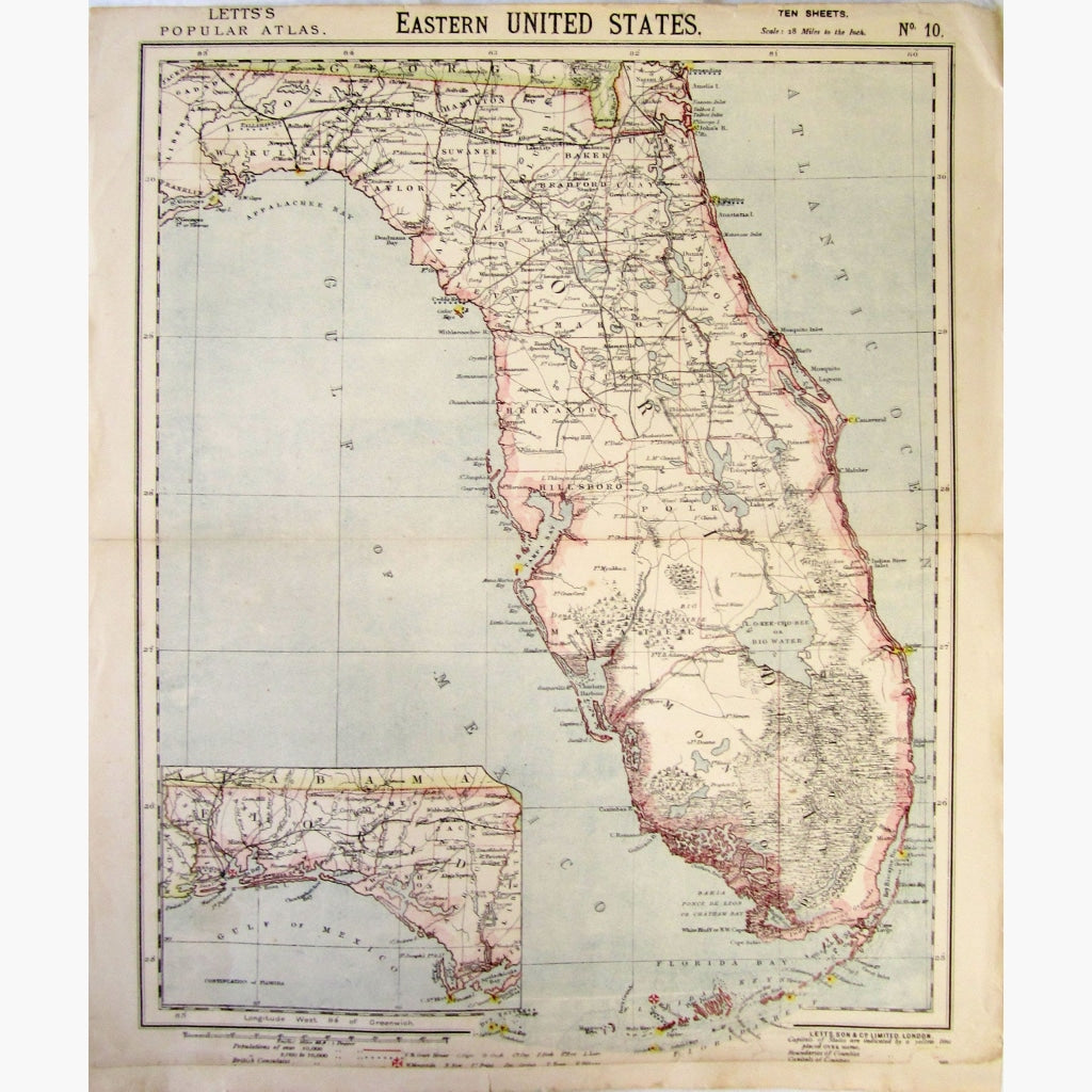
Skip to content
Submit
Close search
Home
Maps
expand
collapse
Maps
Maps by Region
Maps by Interest
Maps by Age
Prints
expand
collapse
Prints
Scenes & Views by Location
Prints by Interest
Prints by Age
About
Contact
KittyPrint
Home
Maps
expand
Maps by Region
Maps by Interest
Maps by Age
Prints
expand
Scenes & Views by Location
Prints by Interest
Prints by Age
About
Contact
Submit
Search
Cart
Cart
expand/collapse
Antique Map, Eastern United States, 1883
Regular price
£58.00
Sale
Default Title
Add to cart
Eastern United States, Florida with inset map of continuation.
Showing wooded areas, Capitals and Boundaries
of Counties, inlets and bays, British Consulates, and more.
Coloured map, Scale 28 miles to the inch, from Letts’s Popular Atlas, 1883.
Size 35 x 43 cm. Condition Quite Good.
Share
Share on Facebook
Tweet
Tweet on Twitter
Pin it
Pin on Pinterest
Recently Viewed
Sale
View full product details →
Quantity
Unavailable
Sold Out