Regular price £30.00 Sale
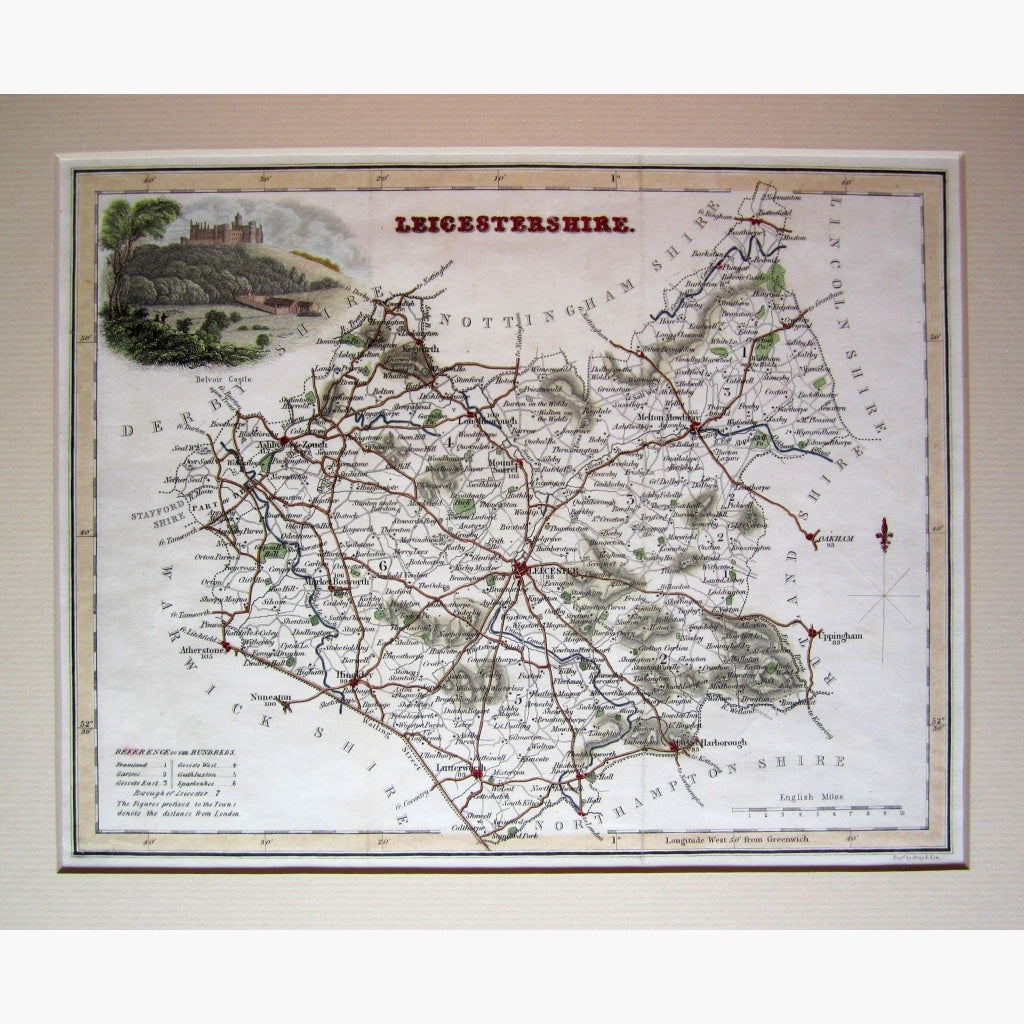
Antique Map. Steel engraved, hand coloured map of Leicestershire with illustration of Belvoir castle. Engraved by Gray and son, published by Fullerton, c. 1840
Size 27.5 x 21.5 cm. Condition Good.
Unavailable
Sold Out