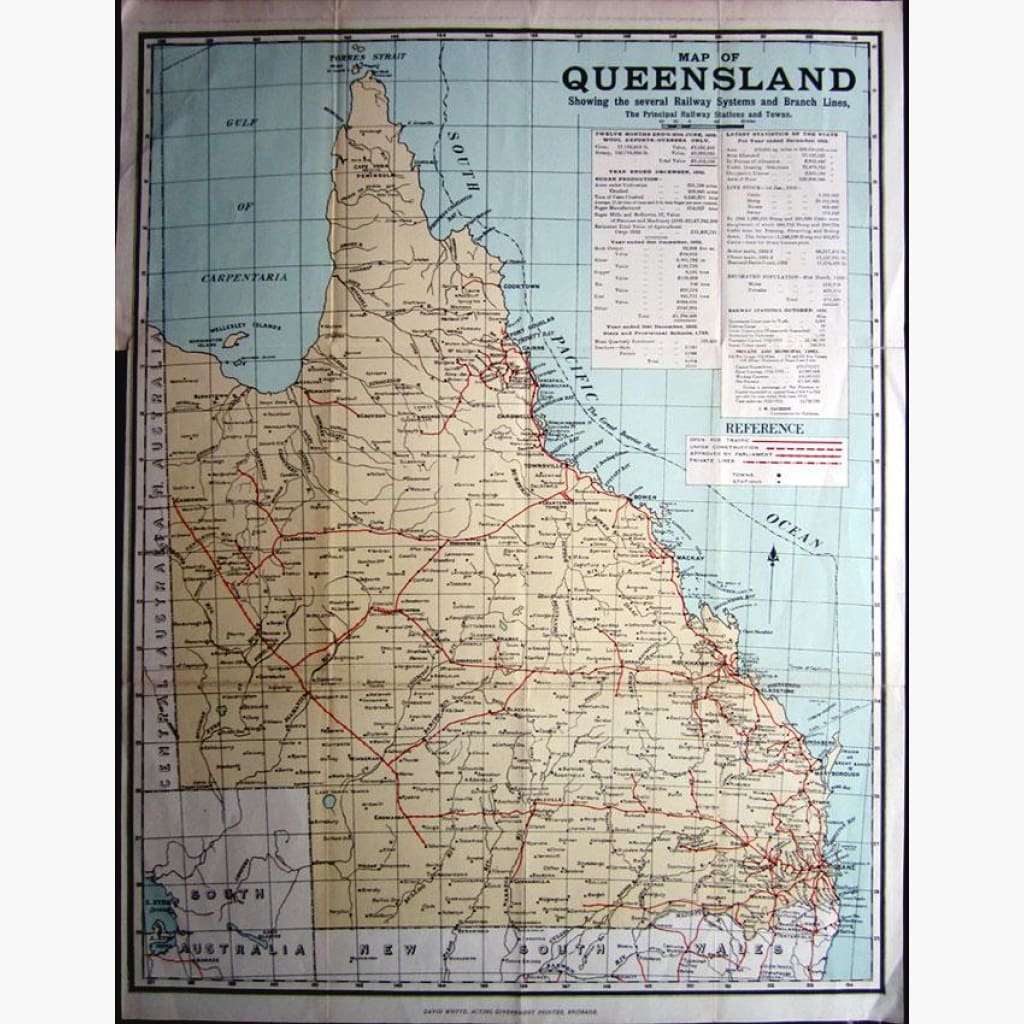
Antique map of Queensland, showing Railway Systems, private lines under construction, and open for traffic.
Inset information on Wool exports, sugar production, live stock, estimated population statistics and more.
Showing in detail the Great Barrier Reef.
Coloured map published by David Whyte, Acting Government Printer, Brisbane, 1935.
Size 43 x 57 cm. Condition Good.
Note that this map is less than 100 years old and therefore is not classified as antique.