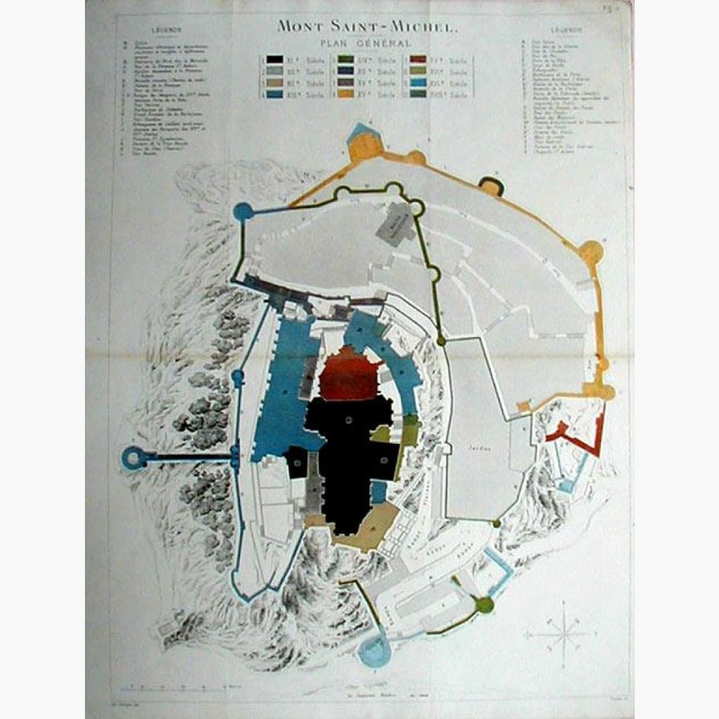
Antique Map, Mont Saint-Michel,
Coloured detailed Map, from historical information by Touchard Lafosse, showing details of the area, and Archeological information,with written explanation on upper sides of page.
General Plan by Ed.Corroyer, dated 1851.
Size 34 x 44 cm. Condition Good, but has folds.