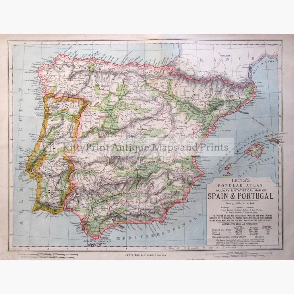
Statistical and Railway map in colour. The Green tinted portion indicates the wine growing districts, the places underlined yellow is the centres for white wine, red for red wine and orange for the Liqueur trade. Showing also the Balearic Islands, and the historical divisions of Spain and Portugal.
Published by Letts Sonand Co.Ltd, in 1881.
Size 42 x 35 cm. Condition Good. Linen backed.