Regular price £45.00 £40.00 Sale
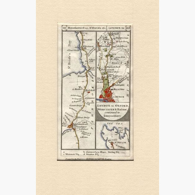
Antique, hand coloured road map, showing St.Bride’s Bay, Haverfordwest, and St. Davids, with part of London.Bowles and Carver, published in 1772.
Size 9 x 16.5 cm. Condition Good .
Unavailable
Sold Out