Skip to content
Submit
Close search
Home
Maps
expand
collapse
Maps
Maps by Region
Maps by Interest
Maps by Age
Prints
expand
collapse
Prints
Scenes & Views by Location
Prints by Interest
Prints by Age
About
Contact
KittyPrint
Home
Maps
expand
Maps by Region
Maps by Interest
Maps by Age
Prints
expand
Scenes & Views by Location
Prints by Interest
Prints by Age
About
Contact
Submit
Search
Log in
Cart
Cart
expand/collapse
England in the 1700s
17 products
Sort
Sort
Best Selling
Alphabetically, A-Z
Alphabetically, Z-A
Price, low to high
Price, high to low
Date, new to old
Date, old to new
A Yeoman of the Guards, 1754
Regular price
£48.00
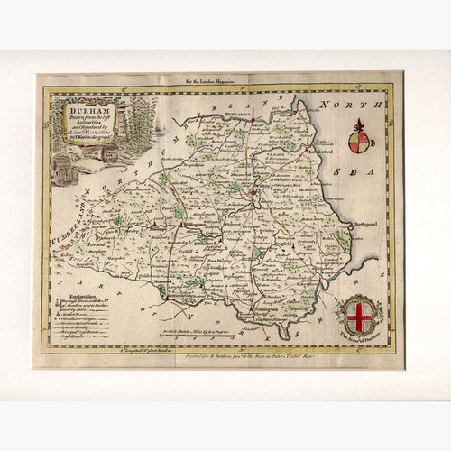
Durham, 1764
Regular price
£30.00
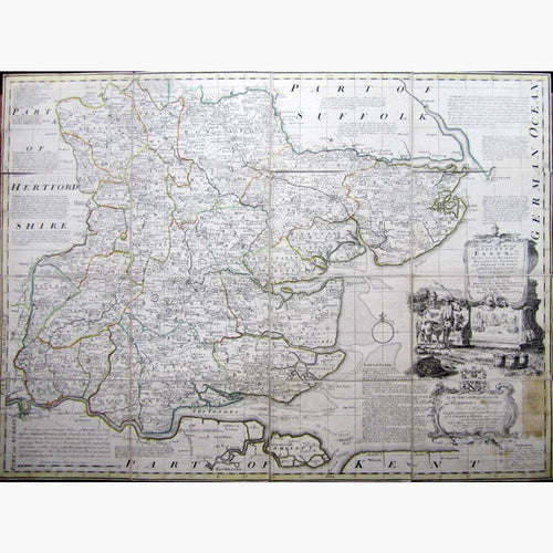
An Accurate map of the County of Essex, 1767
Regular price
£320.00
Mulld-Sake, Chimney Sweep, 1794
Regular price
£48.00
The High Lighthouse, 1784
Regular price
£78.00
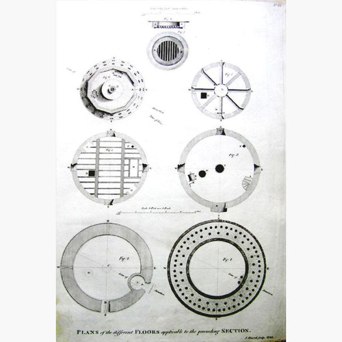
Antique Print, The Lighthouse Plans of the different Floors, 1785
Regular price
£38.00
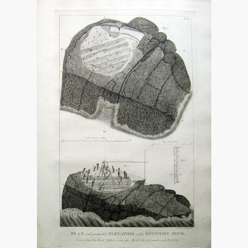
Plan and pespective Elevation of the Edystone Rock, 1785
Regular price
£38.00
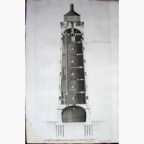
Spurn Point, 1786
Regular price
£58.00
The Old English Halbert Exercise, 1791
Regular price
£30.00
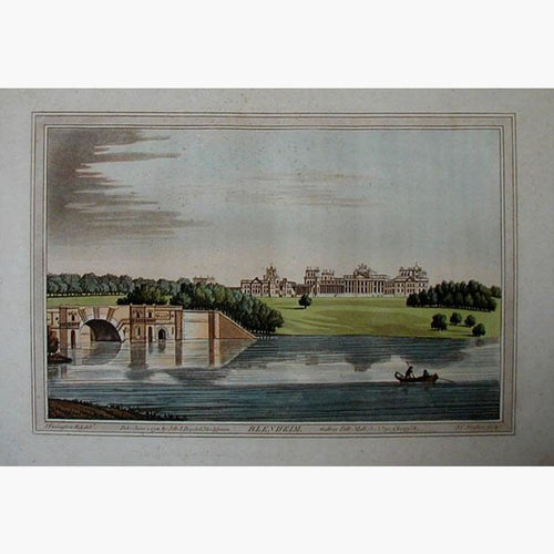
Blenheim Bridge, 1793
Regular price
£110.00
A Plan of Dover Harbour, 1797
Regular price
£58.00
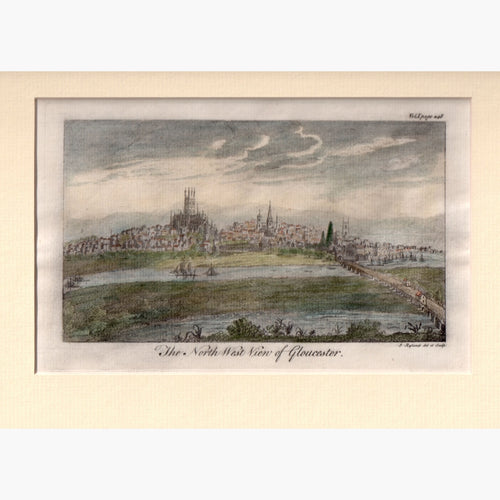
The North West View of Gloucester, 1764
Regular price
£30.00
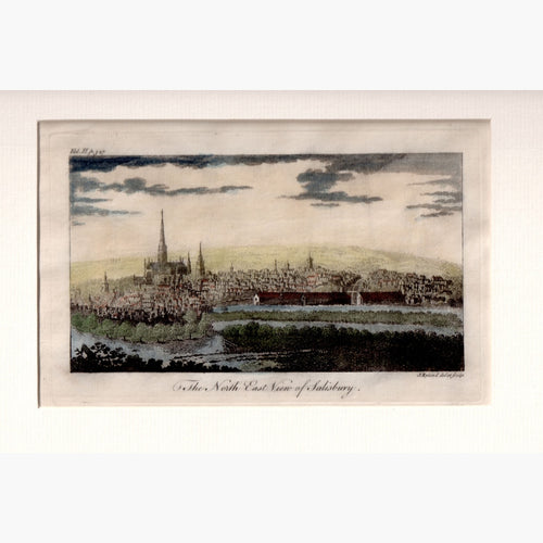
The North East View of Salisbury, 1764
Regular price
£30.00
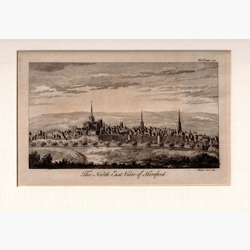
The North East View of Hereford, 1764
Regular price
£30.00
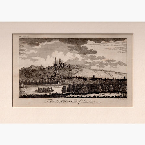
The South West View of Lincoln, 1764
Regular price
£30.00
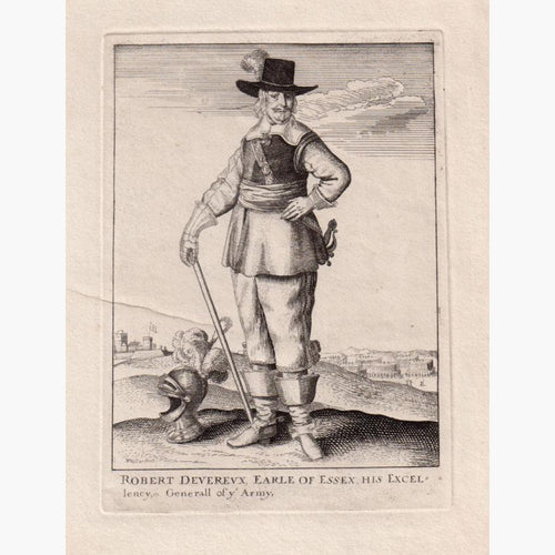
Antique Print, Robert Deverux, Earle of Essex, c.1794
Regular price
£40.00
£32.00
Sale
Chiswick, 1807
Regular price
£35.00
Sale
View full product details →
Quantity
Unavailable
Sold Out