Antique Map, Coalfields of Northumberland, Cumberland and Durham, 1882 – KittyPrint
Antique Map Coalfields of Northumberland Cumberland and Durham 1882 Maps

Antique Map, Coalfields of Northumberland, Cumberland and Durham, 1882

Regular price £20.00 Sale

Antique, chromolithograph, reduced from the Geological Survey map of England and Wales
by Prof. Ramsay, from

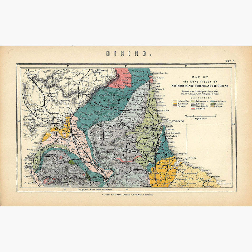
  “The National Encyclopaedia, A Dictionary of Universal Knowledge” 
published by William Mackenzie, 1882.

Size 24 x 16 cm. Condition very good


Recently Viewed

Sale

Unavailable

Sold Out