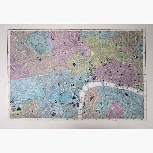
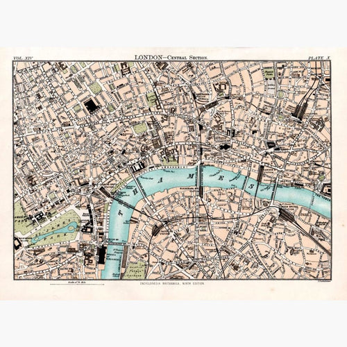
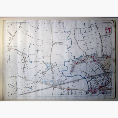
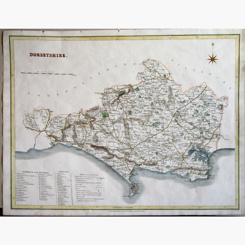
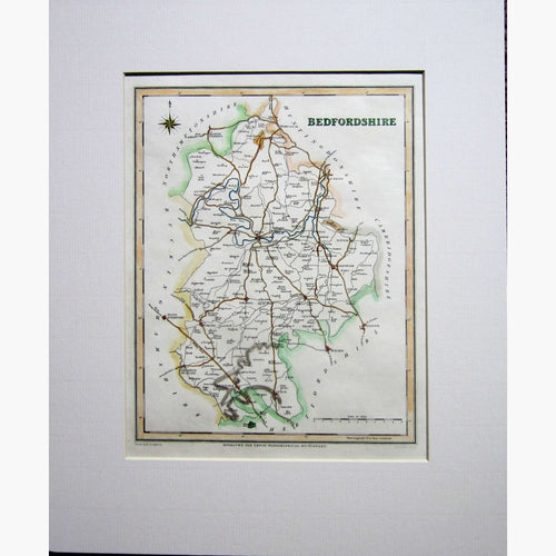
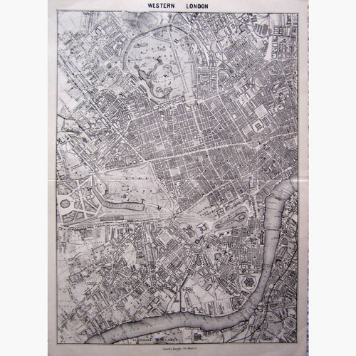
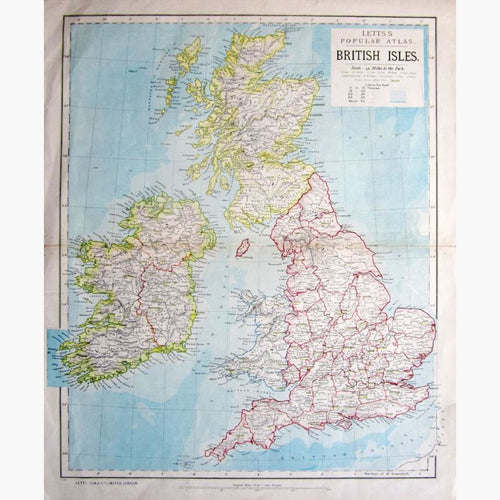
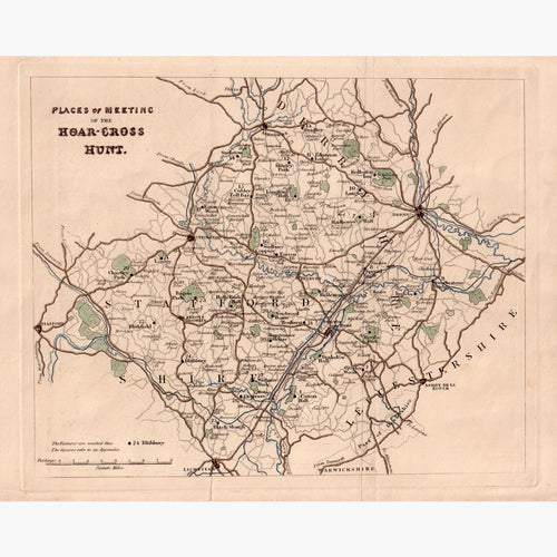
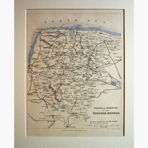
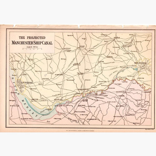
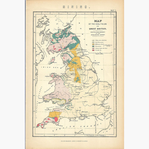
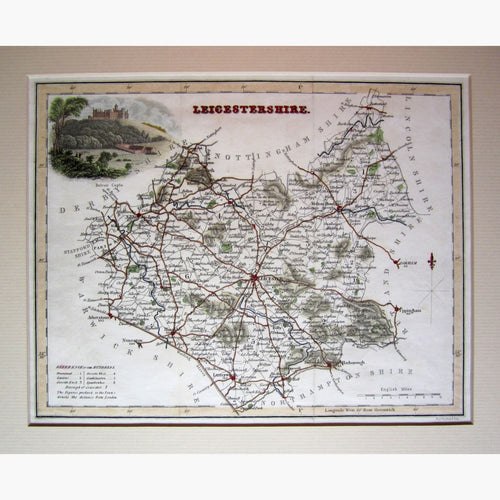
England Maps
Antique maps of England. See England Scenes & Views for landscape prints and genre scenes.


-
Previous
- Page 1 of 2
- Next
About antique maps of England
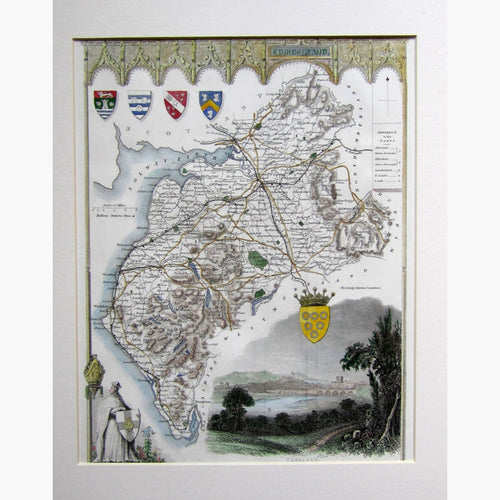
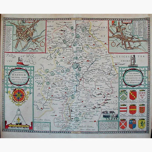
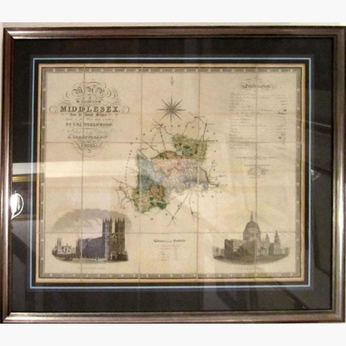
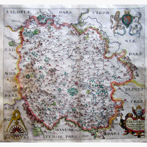
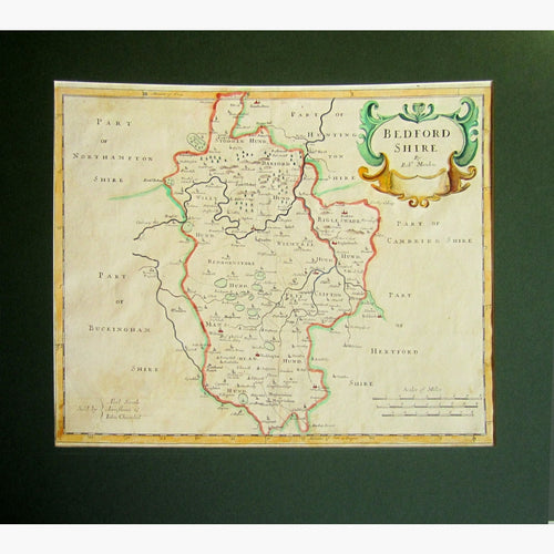
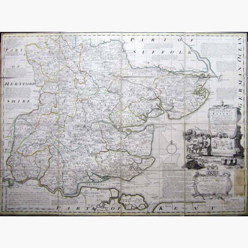
One of the earliest antique maps of England is the Hereford Map, circa 1300. In 1579 Christopher Saxton published the first Atlas of County Maps. This was followed by John Speed, whose maps were more decorative.
Speed’s maps were published in Camdens Britannia with many editions from 1645-1672. The Dutch cartographers Blaeu published county maps. In 1700 Robert Morden’s maps were used in Camdens’ Britannia. There were many British Cartographers in the 18th century, including Emmanuel Bowen, John Owen, Kitchin and John Cary. The last of the decorative maps “the English Counties Delineated ” was Published by Thomas Moule around 1840.