Antique Map, British Isles, 1886 – KittyPrint
British Isles 1886 Maps KittyPrint 1800s England Great Britain & British Isles Regional Maps Ireland Scotland Wales

Antique Map, British Isles, 1886

Regular price £48.00 Sale

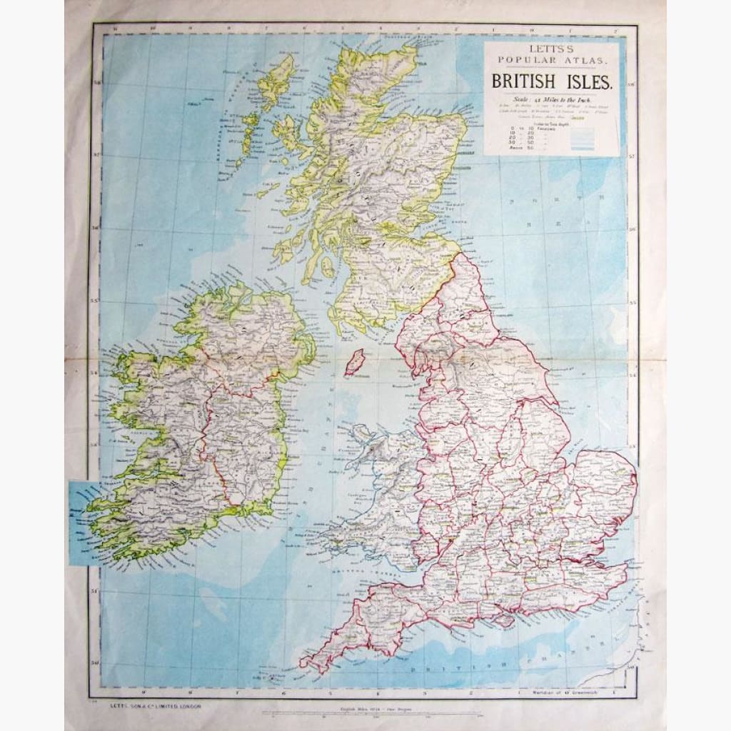
British Isles. Scale 42 miles to the Inch.
Coloured map with Index to Sea depth in Fathoms,
published by Letts’s popular Atlas, 1886.

Size 36 x 44 cm. Condition Good.


Recently Viewed

Sale

Unavailable

Sold Out