
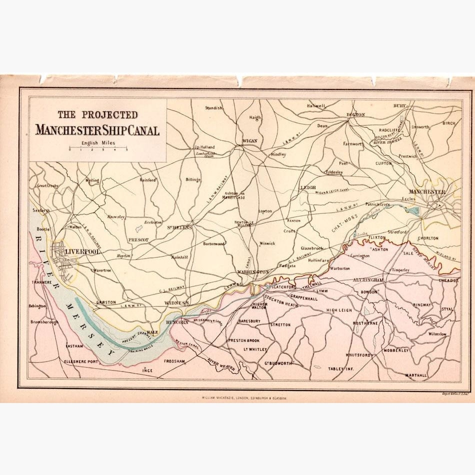
Antique Map, The Projected Manchester Ship Canal, 1882
Regular price
£30.00
£25.00
Sale
In 1761, at the time of the Industrial Revolution, the Duke of Bridgewater opened the canal to transport coal from the mines of Worsley to Manchester This was important because the coal was required to feed the new steam engines which were used for the cotton industry. In 1776 the canal was extended to the river Mersey. Whilst the idea of linking Manchester with the sea by a navigable canal and river route can be traced back as early as 1660, it was not until 1882 that a campaign was launched to build the canal. It eventually opened for traffic in January 1894. After six years in the making, with an average workforce of 12,000 navvies and almost 200 steam trains hauling 6,000 wagons, the final cost of the project totalled more than £15 million. Queen Victoria officially opened the canal on 21st May 1894.
This coloured map, engraved by Guyot and Wood from “The National Encyclopaedia, A Dictionary of Universal Knowledge” was published by William Mackenzie, 1882.
Size 24 x 16.5 cm. Condition Good.