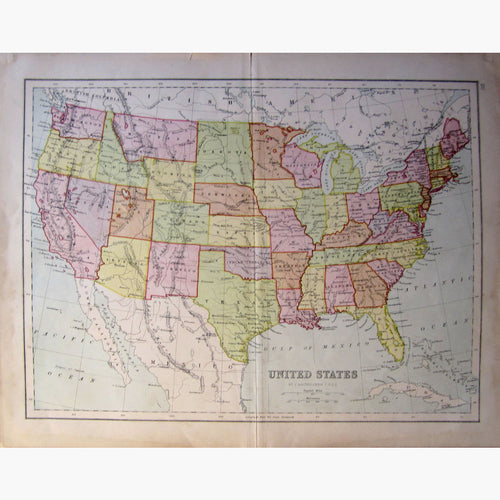
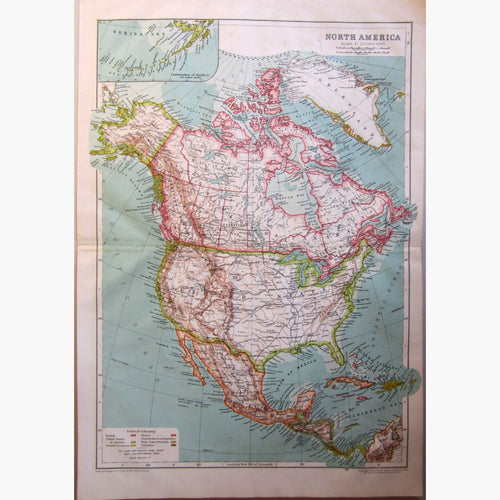
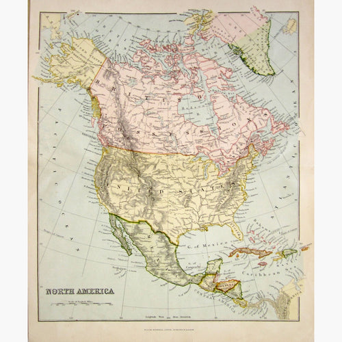
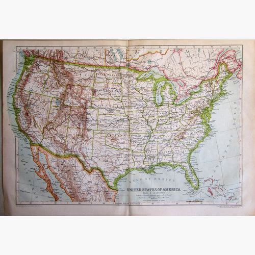
United States Maps
Antique maps of the United States. See United States Scenes & Views for landscape prints and genre scenes.


-
Previous
- Page 1 of 2
- Next
About antique maps of the United States
At the time of Columbus no printed map extended beyond the confines of the ancient Ptolemaic World. Soon after Columbus’s return, maps of America proliferated. There are now many to choose from. I have a large selection of antique maps & prints of the United States.
Christopher Columbus (1436-1506) Born in Genoa, Columbus settled in Lisbon, trying to raise capital for a proposed journey of discovery to the west. He was finally sponsored by Ferdinand and Isabella of Castile in 1492.
He set sail with three vessels and 120 men, who were full of doubts and fears, for the Islands of Cipango (Japan), Mango (Southern China) and Cathay. Actually he was trying to reach the Spice Islands, which were reported to be rich in gold and precious stones. Eventually he discovered Cuba, but Columbus believed his first landfall was in India.
The earliest map to show America was produced by Contari in 1506. Other very early maps of America were printed in 1507 by Waldseemuller and by Münster (see Germany) in 1540. Printing had been discovered around that time, and the wealth of information and interest which the New world had generated, resulted in America being very well represented on printed maps.
California an Island? Although California had been correctly mapped as a peninsula at first from 1592 for about 200 years it became an island. This mistake was copied by most of the cartographers.