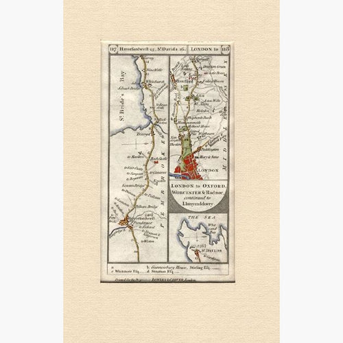
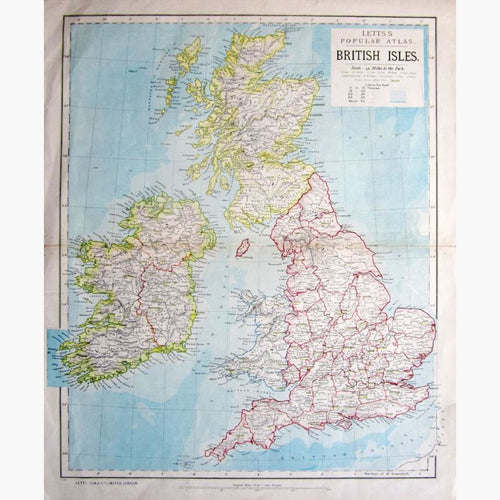
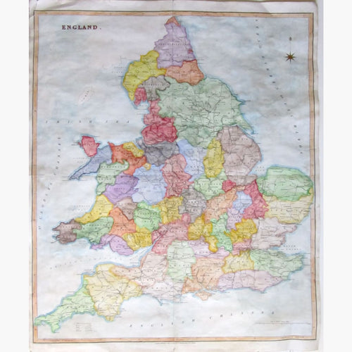
Wales Maps
Antique maps of Wales. See Wales Scenes & Views for landscape prints and genre scenes.


About antique maps of Wales
The earliest recorded map specifically of Wales was a manuscript map by Gerald of Wales (Gerallt Gymro) produced in ca. 1205, titled “Totius Kambriae Mappa”. Several 17th century sources state that it was at Westminster Abbey but by 1780 its whereabouts was unknown and it is thought to have been destroyed in a fire at Wesminster Abbey’s Library in 1695. The earliest printed map is Humphrey Lhuyd’s Cambriae Typus, compiled in 1568 and published in the Additamentum to Abraham Ortelius’ Theatrum Orbis Terrarum in 1573. Although the manuscript is now lost, original prints from Theatrum Orbis Terrarum still survive and are kept at the National Library of Wales.
Cartography of Wales flourished in the 18th and 19th Century. In the early 18th century many atlases only carried maps of North and South Wales, while each English county was mapped. Later in the 18th century a greater interest was shown in detailed county mapping.